
ECHO POINT AERO
Flight Intel & Operations Archive

Flight Intel

Technical briefings, photogrammetry accuracy benchmarks, high-speed FPV cinematography breakdowns, and FAA regulatory guides for Nevada commercial operations.

✓ FAA Part 107 Compliant
✓ Sub-Centimeter RTK Precision
✓ Class B LAANC Clearances
The Definitive Guide to Drone Photogrammetry & Land Surveying in Las Vegas
Featured Intel Briefing
Surveying & GIS•7 min read•October 14, 2026

The Definitive Guide to Drone Photogrammetry & Land Surveying in Las Vegas

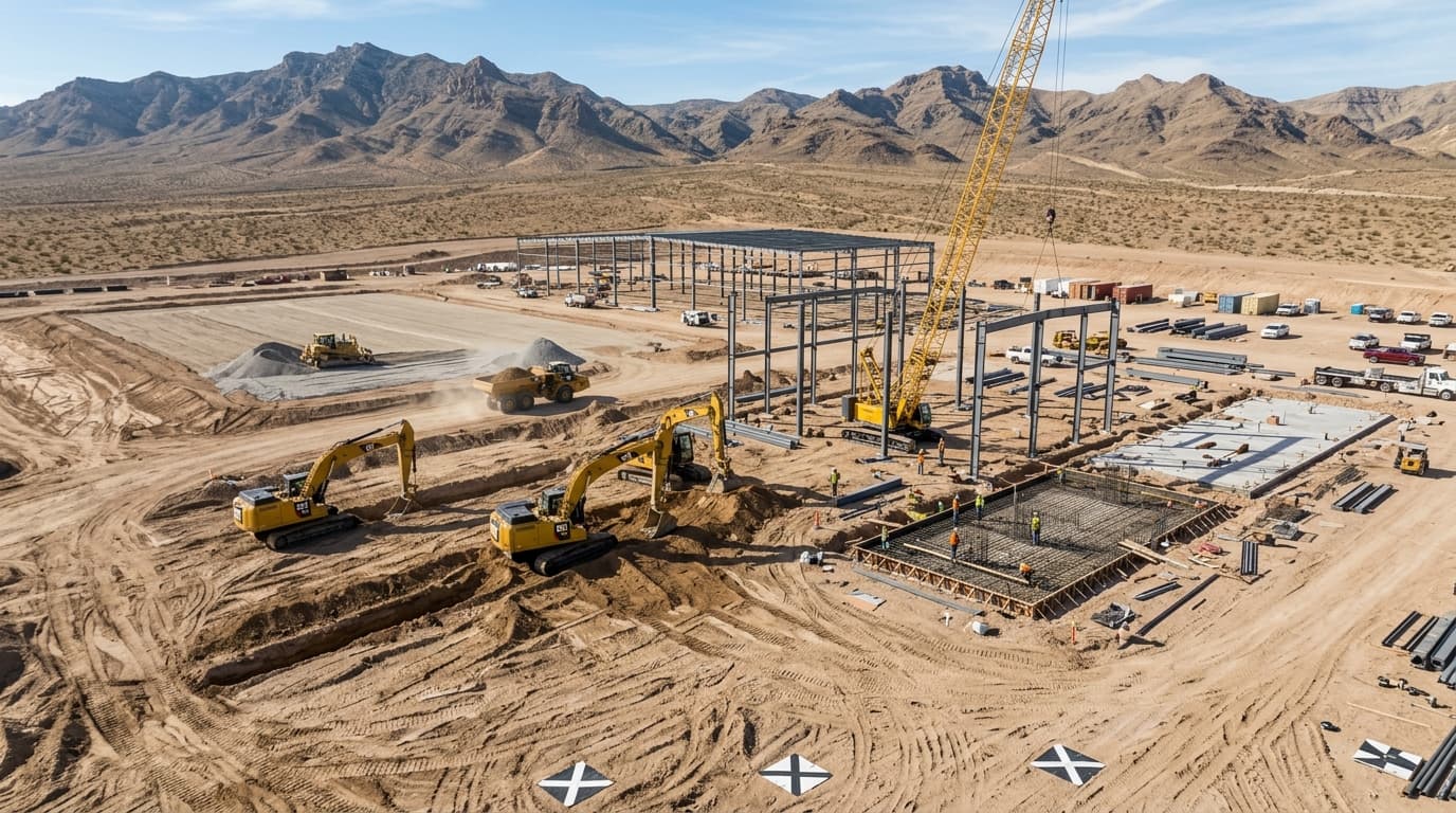
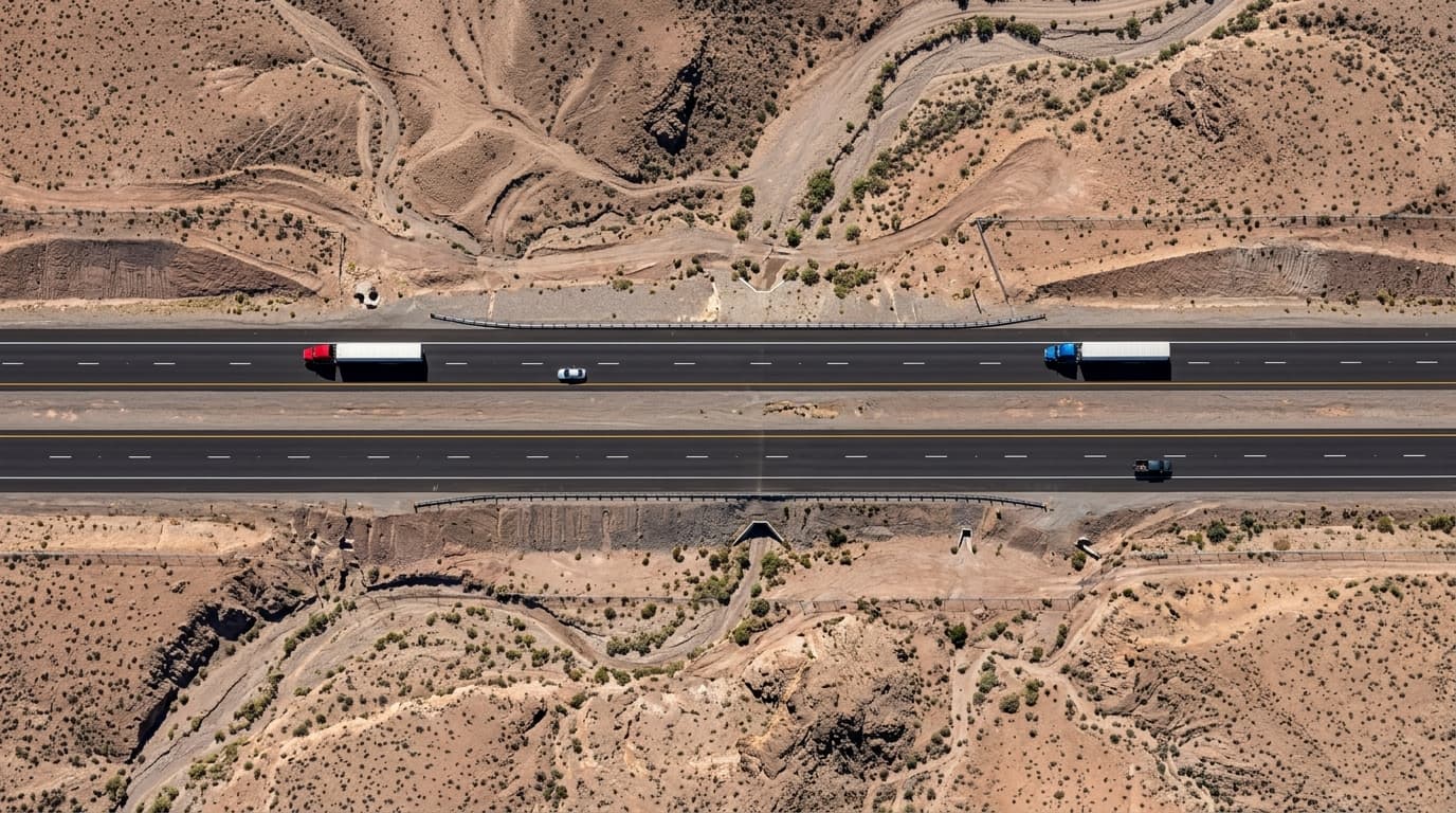
A technical deep dive into high-precision commercial drone land surveying across Southern Nevada. Discover how RTK ground control points, sub-centimeter GSD, and calibrated nadir flights deliver CAD-ready topographical intelligence.

Operational Articles & Field Guides

13 ARTICLES PUBLISHED
Deploy Commercial Drone Operations

Need Aerial Surveying, Construction Mapping, or Chase Cinematography?

Echo Point Aero deploys commercial sUAS throughout Clark County, Las Vegas, Henderson, and Southern Nevada. Part 107 licensed, fully insured, with rapid 24-hour turnaround on actionable data deliverables.