Drone Volumetric Stockpile & Cut/Fill Earthwork Surveys in Las Vegas: Cost vs. Traditional Ground Crew
Compare the speed, safety, and dollar cost of sending two surveyors with rovers over gravel piles vs. a 20-minute RTK drone flight generating 100x higher point density and sub-tenth volume accuracy.
Echo Point Flight Operations
Survey Operations Director
The True Economics of Earthwork Volumetric Measurement
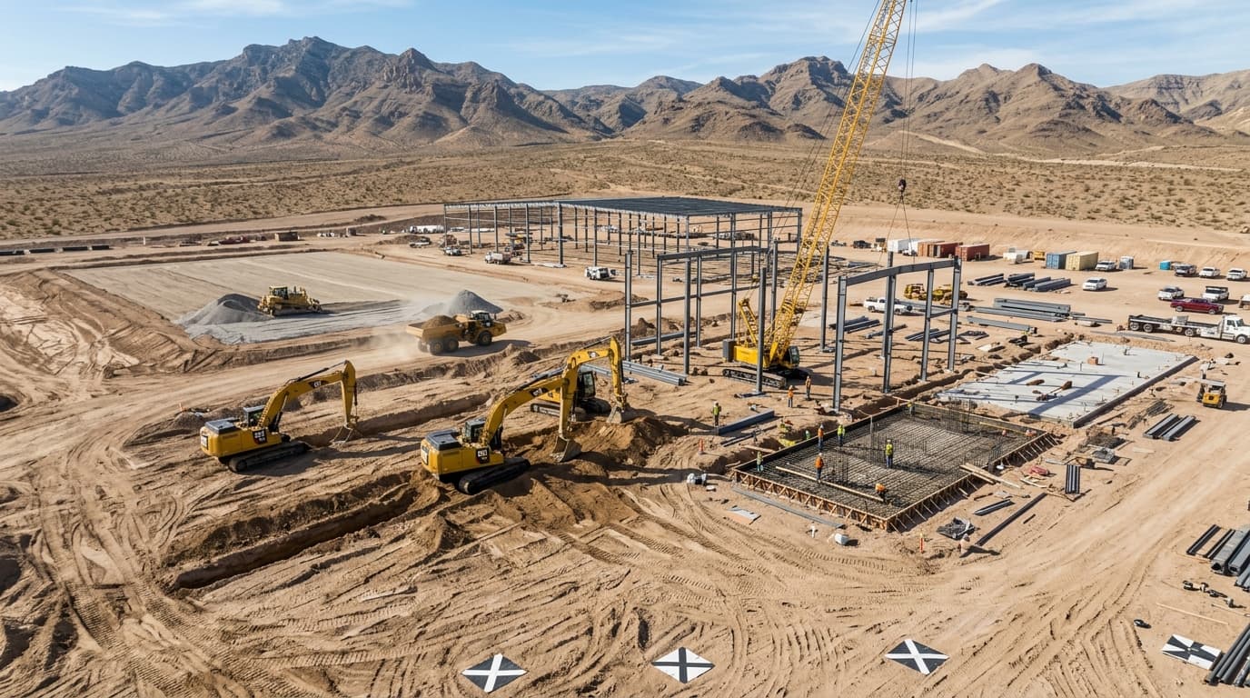
For civil contractors, quarry operators, and mass grading developers in Clark County, keeping accurate inventories of aggregate, subbase, topsoil, and riprap stockpiles is crucial for monthly billing and inventory audits. Historically, measuring large stockpiles required sending survey crews with GPS rovers to climb unstable gravel mounds—a slow, physically exhausting, and hazardous process.
Drone photogrammetry using real-time kinematic (RTK) positioning has transformed heavy civil earthwork. In a single 25-minute automated grid flight, an RTK drone captures tens of millions of spatial data points across a 40-acre quarry or construction site, yielding volume calculations accurate to within 1% to 2% of weigh-scale totals at less than one-third the labor cost.
| Methodology | Field Time (50 Acres) | Deliverable Turnaround | Point Density | Crew Safety Risk |
|---|---|---|---|---|
| Traditional GPS Rover Crew | 1 to 2 Days | 3 to 5 Days | 100 - 300 points | High (Slip/Fall on Loose Aggregate) |
| Echo Point RTK Drone | 30 Minutes | 24 Hours | 15,000,000+ points | Zero Ground Climb Hazard |
| Terrestrial LiDAR Scanner | 4 to 6 Hours | 48 Hours | Dense, High Shadowing | Moderate (Multiple Setups) |
Civil 3D & Carlson Surface Generation
Echo Point Aero does not simply deliver raw numbers. We generate clean, triangulated irregular network (TIN) surfaces, digital terrain models (DTM with vegetation stripped), and color-coded cut/fill isopach heatmaps directly exportable to Autodesk Civil 3D, Bentley InRoads, or Trimble Business Center. Grading contractors can verify daily earth moving production against engineered plan designs with absolute confidence.
Topic Tags
Technical FAQ: Construction
How accurate are drone stockpile volume calculations?▾
When conducted with RTK drones and surveyed ground control/check points, volume accuracy is consistently between 1% and 2% compared to certified truck weigh tickets.
Can your data be imported directly into Autodesk Civil 3D?▾
Yes. We deliver native LandXML surfaces, GeoTIFF elevation rasters, and LAS point clouds ready for instant Civil 3D cut/fill comparisons.
24-Hour RTK Cut/Fill & Volumetric Surface Delivery
Eliminate hazardous climbing on loose aggregate piles. Get automated TIN surfaces, cut/fill heatmaps, contour shapefiles, and certified yardage reports delivered overnight.