How Drones Cut Grading & Stockpile Volumetric Costs on Nevada Construction Sites
Earthwork estimation errors cost Nevada commercial developers millions. Discover how bi-weekly drone mapping, volumetric stockpile audits, and CAD overlay progression save time and prevent contractor disputes.
Echo Point Flight Operations
Commercial Construction Lead
1. The High Cost of Earthwork Guesswork in Nevada
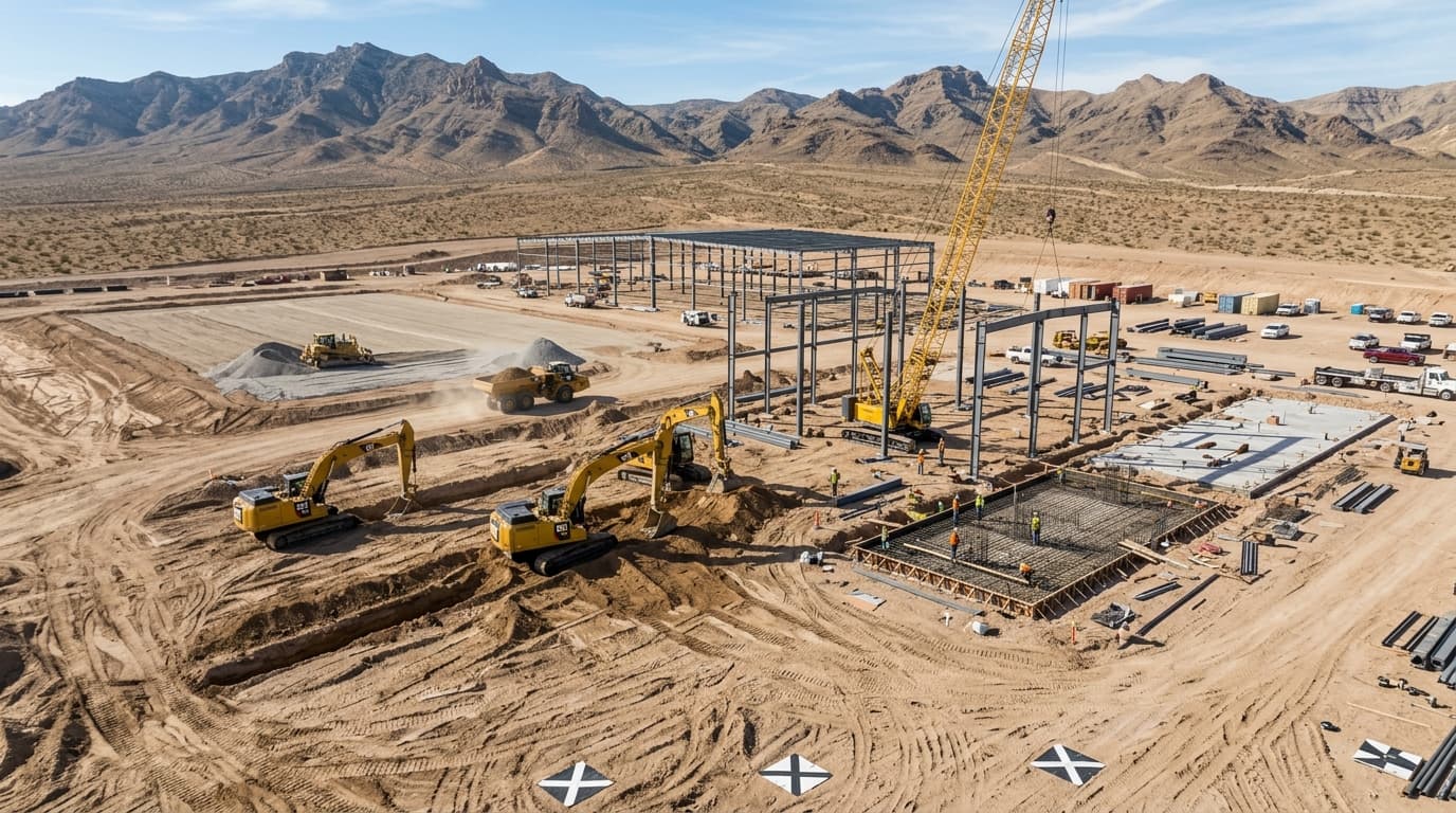
Grading, excavation, and aggregate hauling represent some of the highest-risk cost items on any commercial construction site in Southern Nevada. When subcontractors dispute dirt haul volumes, or when stockpiles are measured using outdated wheel-counter estimates, budgets bleed thousands of dollars every week.
Commercial drone flights have transformed jobsite monitoring. By flying an automated autonomous grid over a construction parcel in under 20 minutes, contractors receive precise cut/fill volume heatmaps and 3D digital surface models with sub-centimeter repeatability.
2. How Drone Volumetric Calculations Work
Volumetric analysis uses photogrammetric point clouds to measure the exact cubic yardage of stockpiles, pits, and graded pads. The drone captures hundreds of overlapping nadir and oblique aerial photographs.
Specialized photogrammetry algorithms match millions of keypoints to generate a dense 3D point cloud. The software computes the volume between the current digital surface and a baseline digital elevation plane, delivering cubic yard measurements accurate within 1.0% to 1.5% of laser scanning at a fraction of the cost.
A recent North Las Vegas commercial logistics development used Echo Point Aero bi-weekly volumetric scans to audit imported aggregate. The contractor verified a 4,200 cubic yard discrepancy in subcontractor invoices, resolving the claim before concrete pours commenced.
3. Weekly Progression Reports for Out-of-State Stakeholders
With many developers, architects, and lenders based outside of Nevada, physical site visits are expensive and infrequent. Echo Point Aero provides turnkey weekly or bi-weekly flight packages that keep all stakeholders aligned:
• Georeferenced High-Res Orthomosaics: Zoom in to inspect rebar placement, utility trenching, and foundation pours.
• Side-by-Side Milestone Timelines: Interactive visual slider comparisons showing changes week-over-week.
• Architectural CAD Overlays: Superimpose engineering blueprints directly over real-time aerial photos to verify as-built compliance before costly errors occur.
Topic Tags
Technical FAQ: Construction
How accurate are drone stockpile volumetric calculations?▾
Drone volumetric measurements typically achieve an error margin of less than 1.5% compared to ground laser scanning, providing reliable data for inventory audits, billing verification, and mass excavation tracking.
Can drone progression orthomosaics be viewed in Autodesk Civil 3D or Procore?▾
Yes. All outputs are delivered in standard industry formats including GeoTIFF, LAS/LAZ point clouds, DXF/DWG vector contours, and OBJ 3D meshes that plug directly into Autodesk, Procore, and GIS suites.
How frequently should a Nevada commercial project fly progression scans?▾
Most commercial logistics and grading projects benefit from bi-weekly flights during mass grading, transitioning to monthly flights during vertical structural framing and MEP installation.
Schedule Your Las Vegas Aerial Mission
FAA Part 107 certified flight crews ready for deployment across Clark County, Henderson, North Las Vegas, and Southern Nevada. Volumetric surveys, orthomosaics, and cinema pursuit flights delivered with rapid turnaround.