The Definitive Guide to Drone Photogrammetry & Land Surveying in Las Vegas
A technical deep dive into high-precision commercial drone land surveying across Southern Nevada. Discover how RTK ground control points, sub-centimeter GSD, and calibrated nadir flights deliver CAD-ready topographical intelligence.
Echo Point Flight Operations
FAA Part 107 Lead Pilot & GIS Specialist
1. The Evolution of Aerial Land Surveying in Southern Nevada
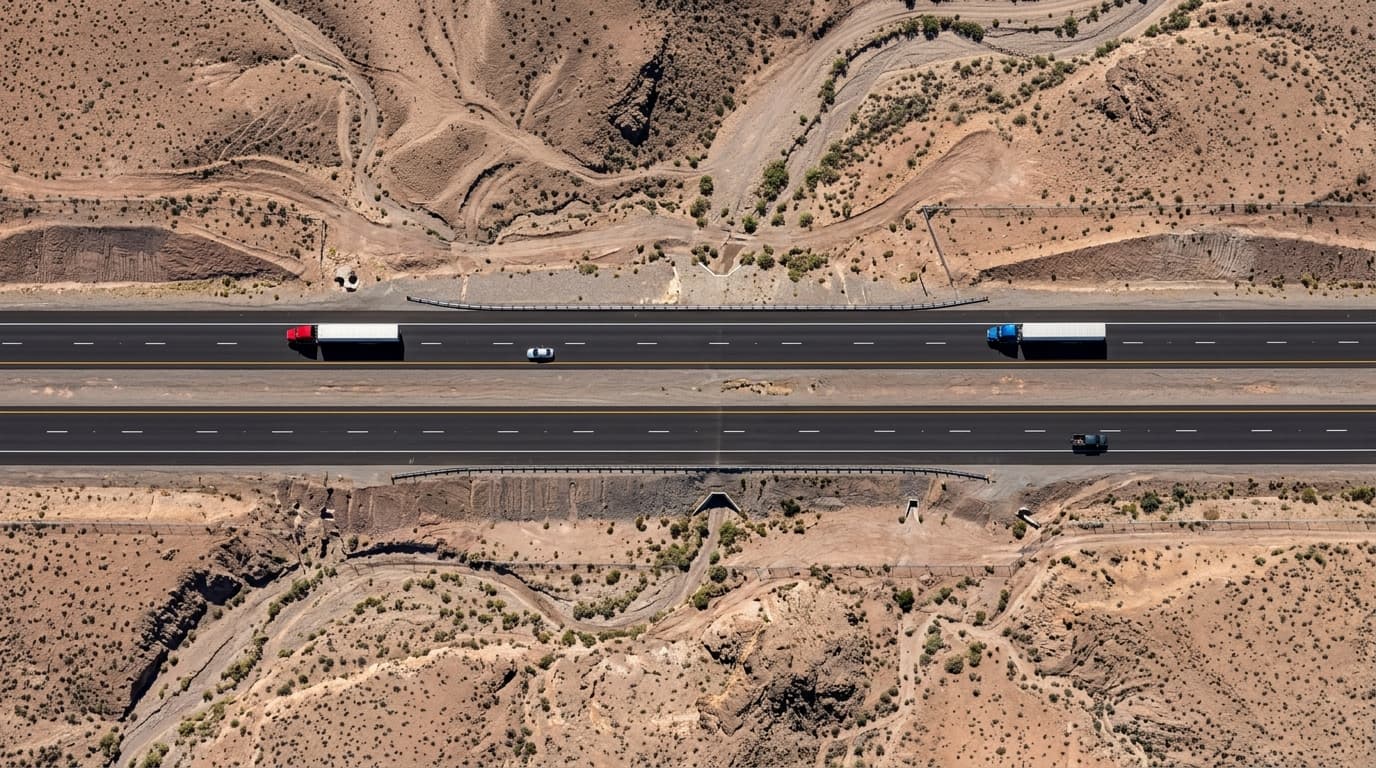
Commercial land development across the Las Vegas Valley, Henderson, and North Las Vegas requires unprecedented accuracy and speed. Traditional terrestrial surveying crews using total stations often spend weeks walking rugged Mojave desert terrain, fighting extreme heat, undulating caliche soils, and jagged desert washes.
By deploying enterprise unmanned aircraft systems (sUAS) equipped with global shutter mapping sensors and Real-Time Kinematic (RTK) positioning, civil engineers and land developers can now capture thousands of acres in a single day with sub-centimeter absolute accuracy.
Echo Point Aero achieves Ground Sampling Distances (GSD) as fine as 0.8 cm/pixel at 250 ft AGL, providing sufficient resolution to identify individual utility manhole covers, boundary stakes, and road curb grades.
2. Photogrammetry vs. LiDAR: Which Fits Nevada Topography?
A frequent question among civil engineering firms is whether to deploy high-resolution RGB photogrammetry or aerial LiDAR. In the Mojave Desert environment, vegetation is sparse, consisting primarily of low creosote bushes and desert scrub. This sparse canopy makes high-resolution photogrammetry the vastly more cost-effective and visually rich solution for 90% of development sites.
Below is an engineering comparison matrix for commercial drone data collection in Clark County:
| Parameter | RTK Photogrammetry | Aerial LiDAR |
|---|---|---|
| Vertical Accuracy (RMSE) | 1.0 – 2.5 cm | 1.5 – 3.0 cm |
| Horizontal Accuracy | 0.8 – 2.0 cm | 2.0 – 5.0 cm |
| Visual Deliverable | Full-color 3D Mesh & True Ortho | Monochrome / Classified Point Cloud |
| Canopy Penetration | Moderate (Desert Shrub) | Superior (Dense Trees) |
| Relative Cost per Acre | Optimal Cost Efficiency | 2x – 3x Equipment Premium |
| Turnaround Time | 24 to 48 Hours | 48 to 72 Hours |
3. Ground Control Points (GCPs) and RTK Workflows
Autonomous drone flights alone cannot guarantee engineering-grade precision without georeferenced ground truth. Echo Point Aero combines onboard RTK GNSS receivers with surveyed Ground Control Points (GCPs) and independent check points placed across the mission perimeter.
Check points verify that the digital terrain model correlates precisely with state plane coordinate systems (NAD83 Nevada East Zone). This ensures the delivered GeoTIFF orthomosaics and Digital Elevation Models (DEM) align seamlessly with municipal GIS databases and Autodesk Civil 3D design files.
4. Standard Deliverables for Nevada Civil Projects
When commissioning an aerial survey, stakeholders receive actionable data formats ready for immediate CAD/GIS integration:
• Georeferenced Orthomosaic (GeoTIFF): High-resolution raster imagery corrected for perspective distortion and topographic relief.
• Digital Elevation Models (DEM / DSM): Surface and bare-earth elevation rasters enabling drainage runoff calculations.
• 3D Textured Mesh & LAS Point Clouds: Millions of georeferenced 3D points allowing virtual walk-throughs and structural clearance checks.
• Topographical Vector Contours: 1-foot or 2-foot contour lines exported directly into DWG, DXF, and SHP formats.
Topic Tags
Technical FAQ: Surveying & GIS
How accurate is drone photogrammetry compared to traditional surveying?▾
When combined with RTK positioning and surveyed Ground Control Points (GCPs), commercial drone photogrammetry achieves horizontal and vertical accuracy within 1 to 2 centimeters, meeting ASPRS standards for civil engineering and topographical mapping.
How fast can Echo Point Aero deliver survey data for a 100-acre site in Clark County?▾
A 100-acre site typically takes 2 to 3 hours of on-site flight operations. Processed orthomosaics, point clouds, and contour exports are typically delivered within 24 to 48 hours via secure cloud download.
Is drone surveying permitted near Harry Reid International Airport?▾
Yes. Echo Point Aero holds FAA Part 107 certifications and utilizes automated LAANC authorizations and airspace coordination to legally operate within Las Vegas Class B controlled airspace up to permitted ceiling altitudes.
Schedule Your Las Vegas Aerial Mission
FAA Part 107 certified flight crews ready for deployment across Clark County, Henderson, North Las Vegas, and Southern Nevada. Volumetric surveys, orthomosaics, and cinema pursuit flights delivered with rapid turnaround.