Mission Archive
High-precision photogrammetry, nadir corridor surveys, 3D volumetric models, and commercial cinema captures across Southern Nevada.
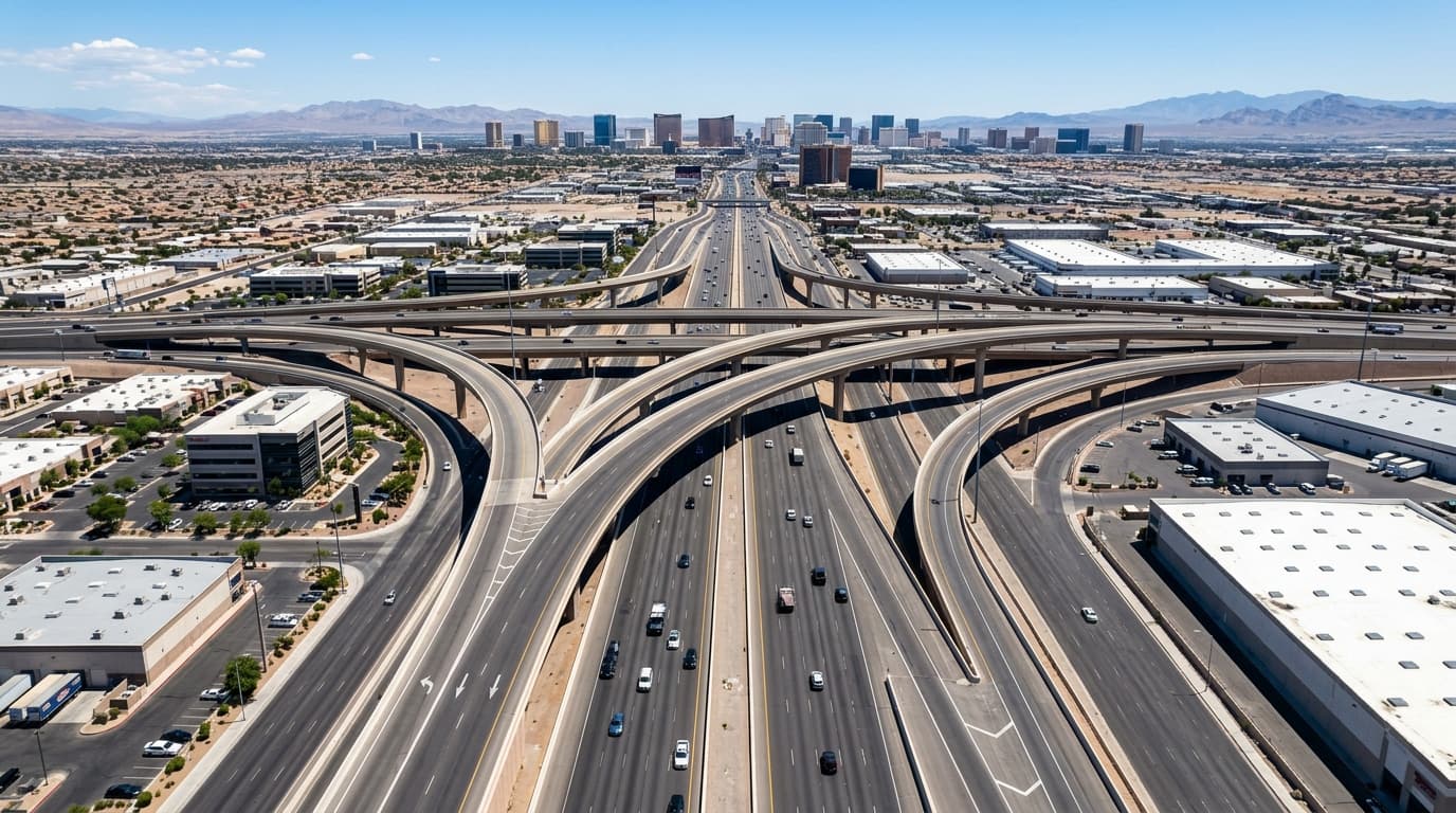
Urban Infrastructure & Interchanges
Clark County Transportation Corridor
Sub-centimeter structural aerial survey documenting elevated multi-tier highway interchange expansion and arterial traffic integration for municipal civil engineering review.
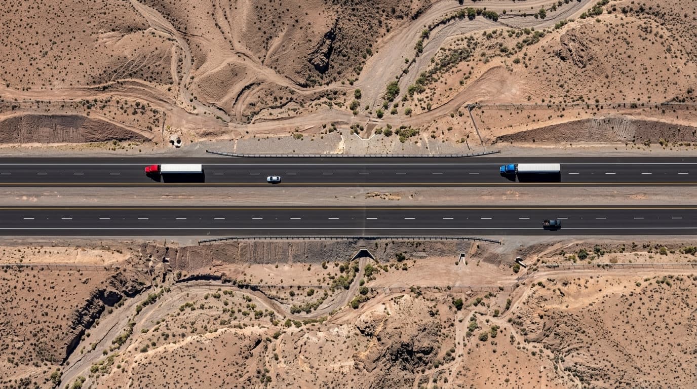
High-Altitude Highway Corridor Mapping
State Route Corridor Survey
Top-down nadir photogrammetry corridor mapping with RTK ground control points for civil planning, highway pavement grade assessment, and drainage easement verification.
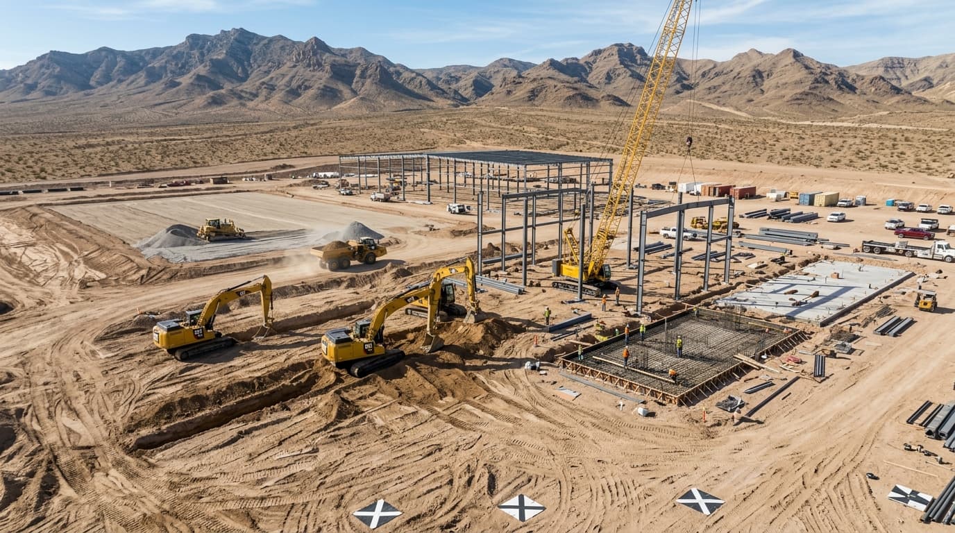
Commercial Construction Progression
Industrial Logistics Hub Phase II
Comprehensive aerial site monitoring tracking heavy equipment mobilization, grading earthwork volumes, foundation pour milestones, and contractor accountability.
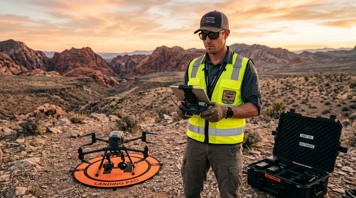
Flight Operations & Airspace Clearance
Part 107 Pre-Flight & Telemetry Protocol
Pre-mission flight briefing, live airspace authorization via FAA LAANC, spectrum analysis, and safety checks executed prior to all commercial sUAS deployments.
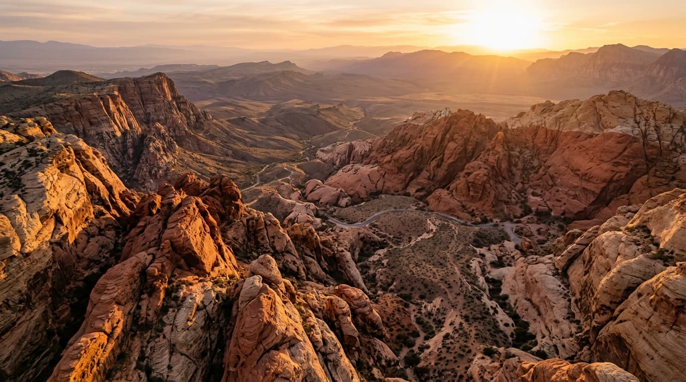
Cinematic Desert Topography
Red Rock Canyon National Conservation
Dynamic high-altitude cinematic capture utilizing golden-hour lighting vectors, rugged ridge sweeps, and dramatic desert landscapes for commercial marketing and promotional campaigns.

Industrial Solar Facility Inspection
Utility-Scale Photovoltaic Array Diagnostic
High-resolution visual and thermographic aerial diagnostics identifying sub-module cell hotspots, bypass diode failures, and wiring harness degradation on utility-scale solar arrays.

High-Speed Track & Race Bike Filming
Vegas Valley Circuit & Speedway High-Speed Aerial Chase
Sub-second agility and high-speed aerial pursuit tracking superbikes and track motorcycles across Las Vegas racing circuits. Capturing knee-down apex carves, high-speed straights, and broadcast-ready multi-angle cinematic chase footage.
Need Aerial Surveying or Photogrammetry for Your Project?
Echo Point Aero deploys commercial sUAS throughout Clark County, North Las Vegas, Henderson, and Southern Nevada. Part 107 licensed, fully insured, with rapid 24-hour turnaround on actionable data deliverables.